A Trip to the Faroe Islands
If you're anything like me, when I first heard of the Faroe Islands, I had to get to a map to figure out where they were. The small island chain in the middle of the North Atlantic Ocean is an incredibly beautiful place to visit.
The 18 major islands are host to about 50,000 people. I spent the week, staying in the capital city, Torshavn, and then drove to all my other destinations. Perhaps the most special place that I visited was the westernmost island, Mykines. The island's 10 permanent residents live in a small village that sits atop a rocky bluff overlooking the small harbor.
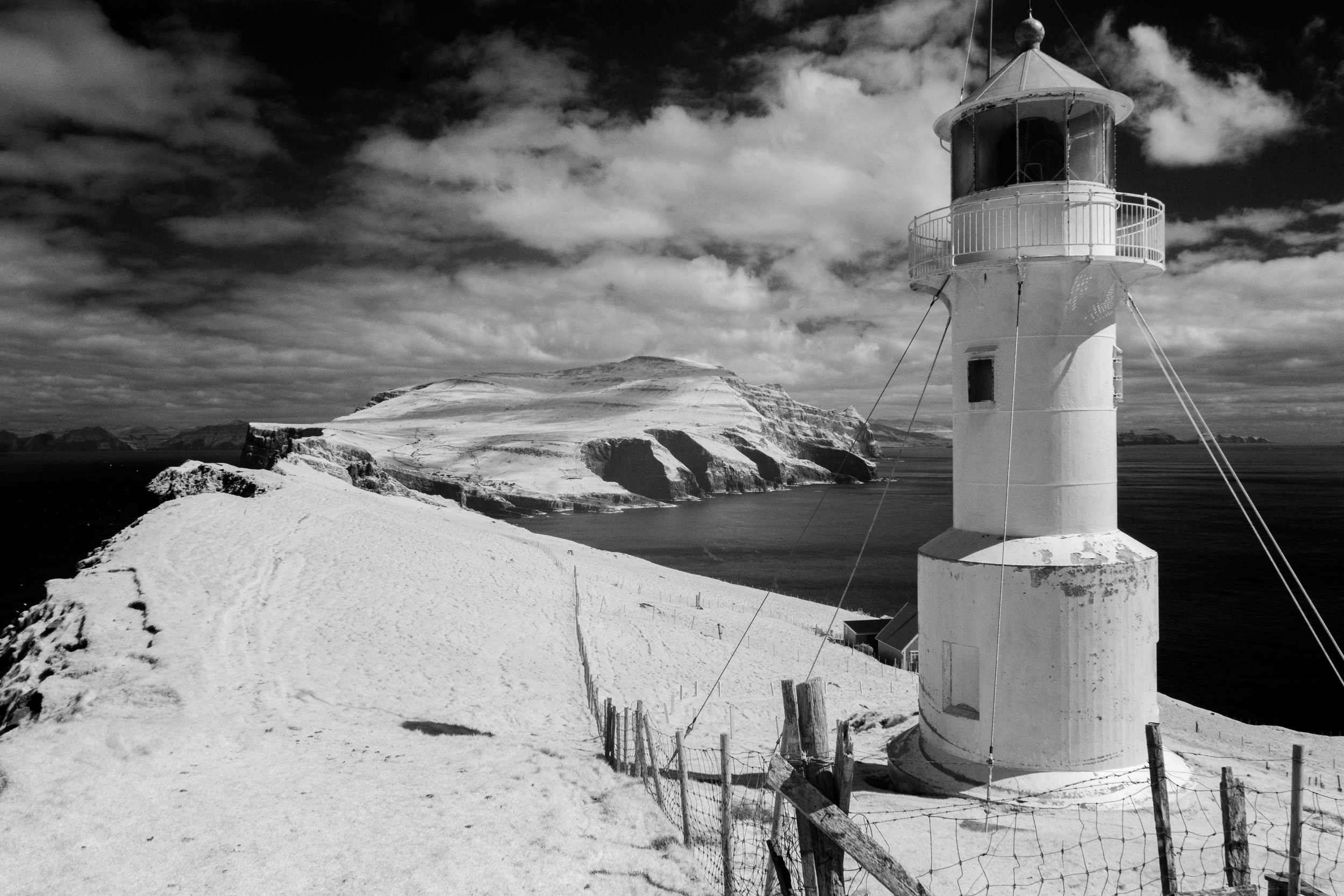
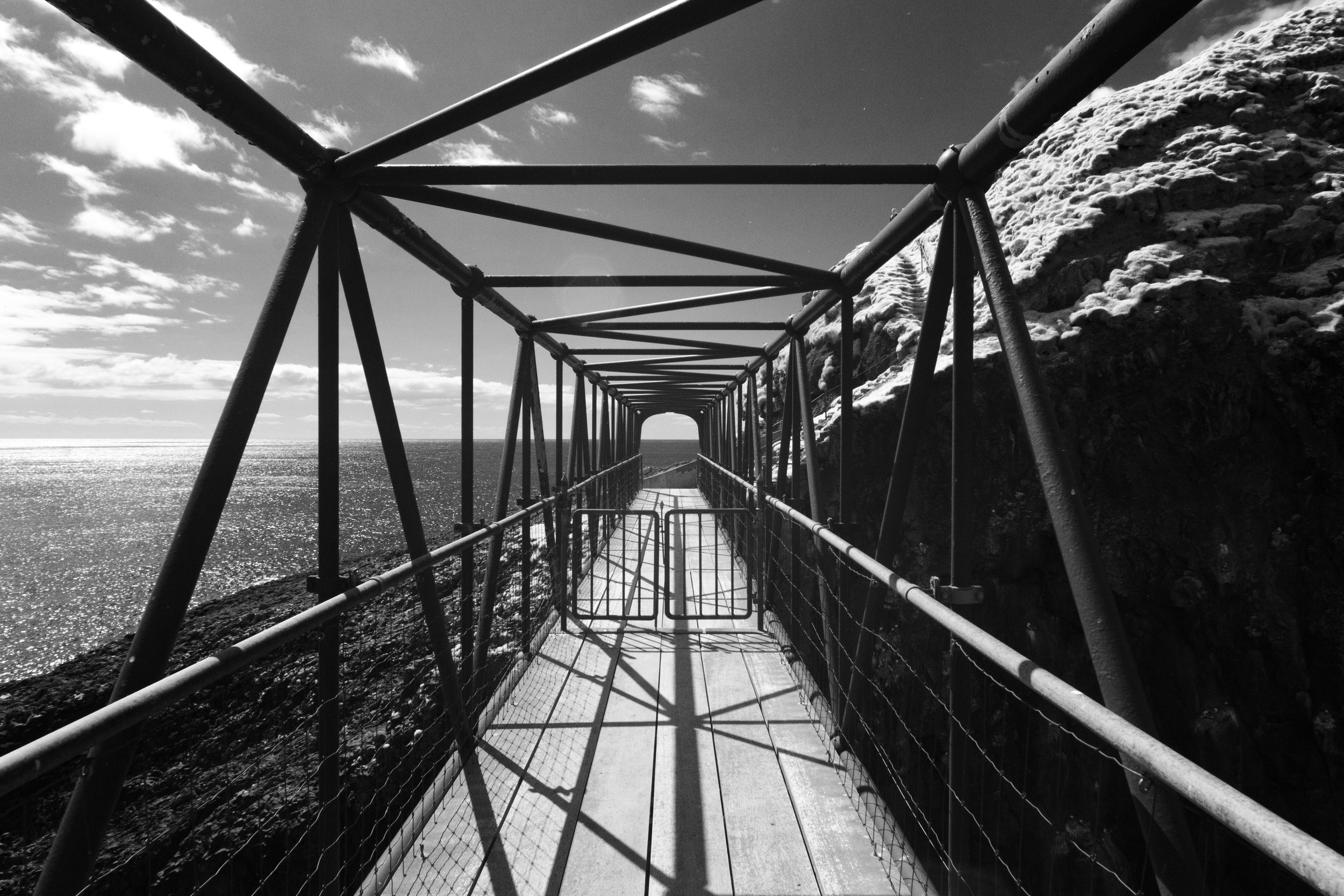
The hike from the harbor out to the lighthouse was not easy. In some places, the "path" is a nearly vertical strip of dirt on the hillside. The bridge, from Mykines to Mykines Holm is referred to by our hiking guide as the only bridge over the North Atlantic. Standing on the westernmost point in the island chain afforded an incredible view.
The weather around the islands is constantly changing. Rain, low fog, clouds, sunshine and everything in between made exploring the islands especially interesting and photographing it even more challenging. The waterways between Eysturoy and the largest island of Stremoy provided some amazing scenery on one morning.
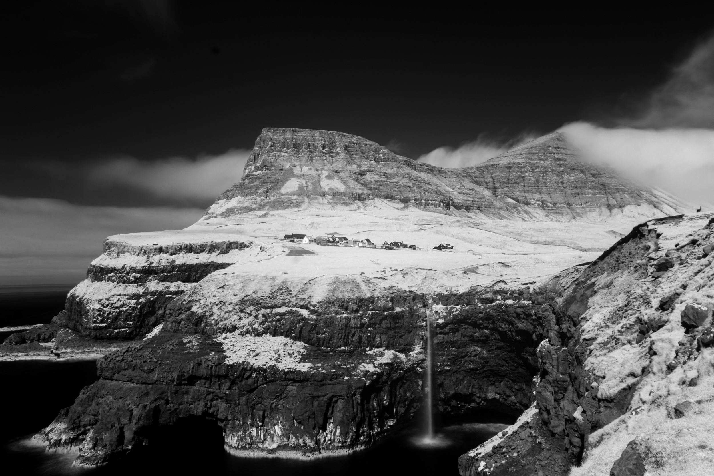
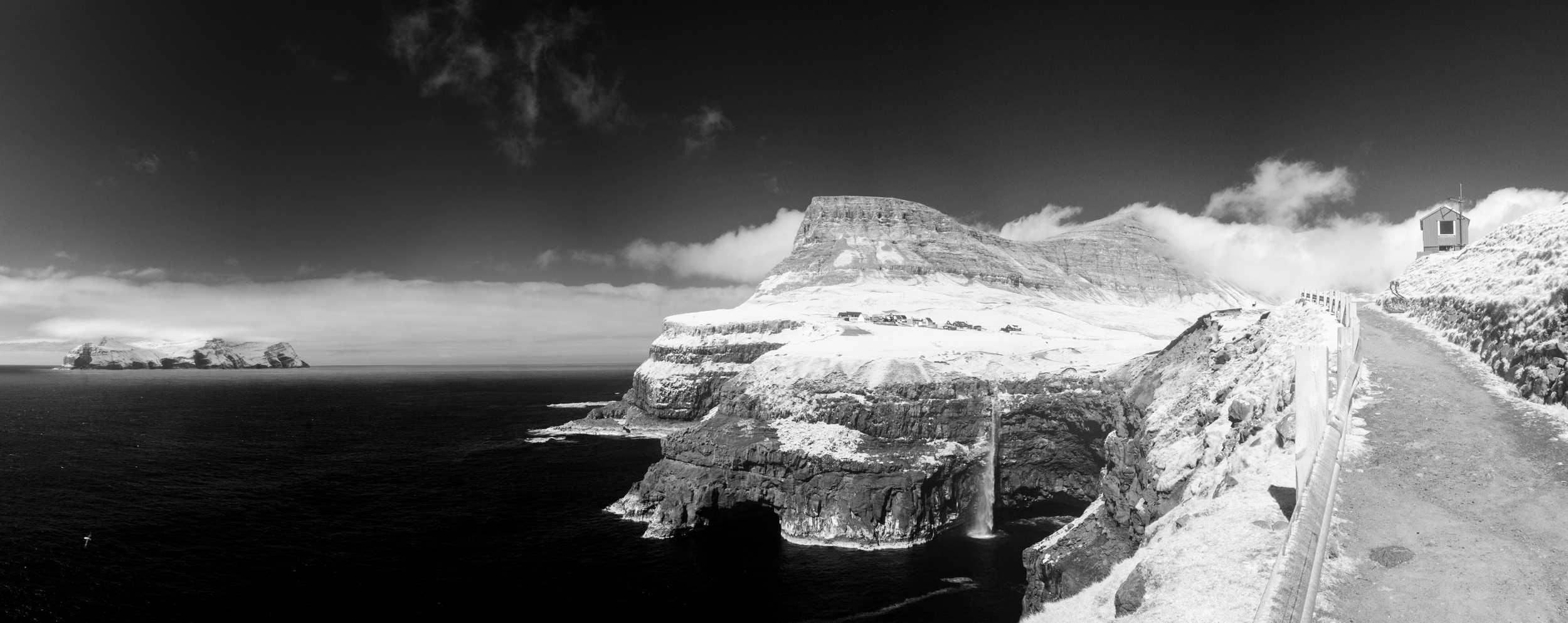
On the island of Vagar, several unique landforms make for beautiful scenes. The waterfall near the village of Gasadalur slips off the side of a cliff and into the ocean below. On the southern side of the island, Leitisvatn appears to be a part of the sea beyond but sits above it at the edge of the cliff.
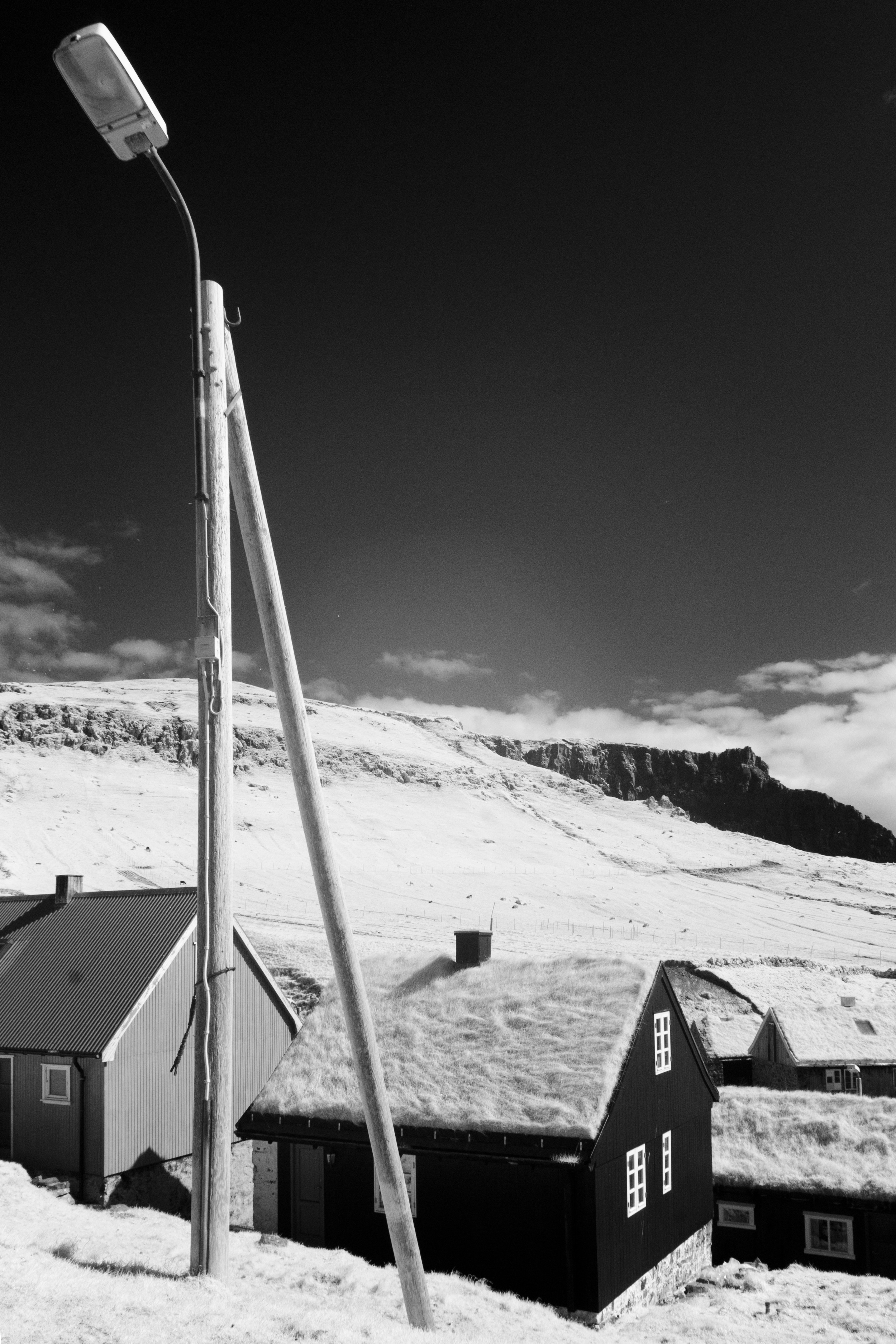
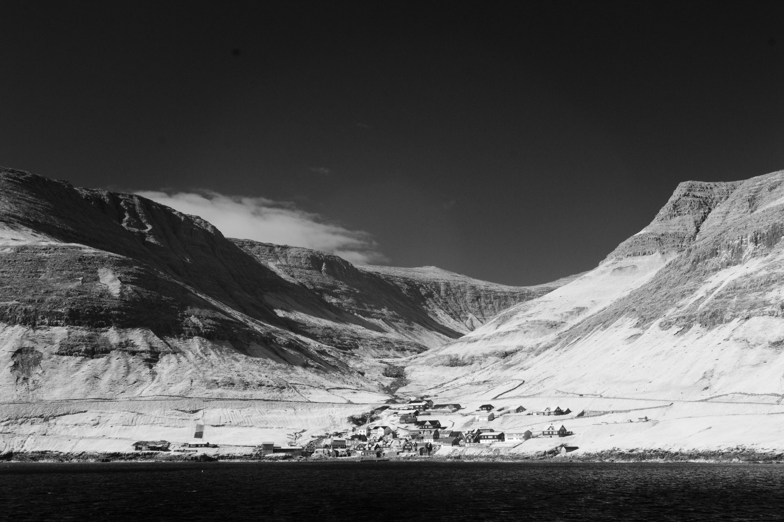
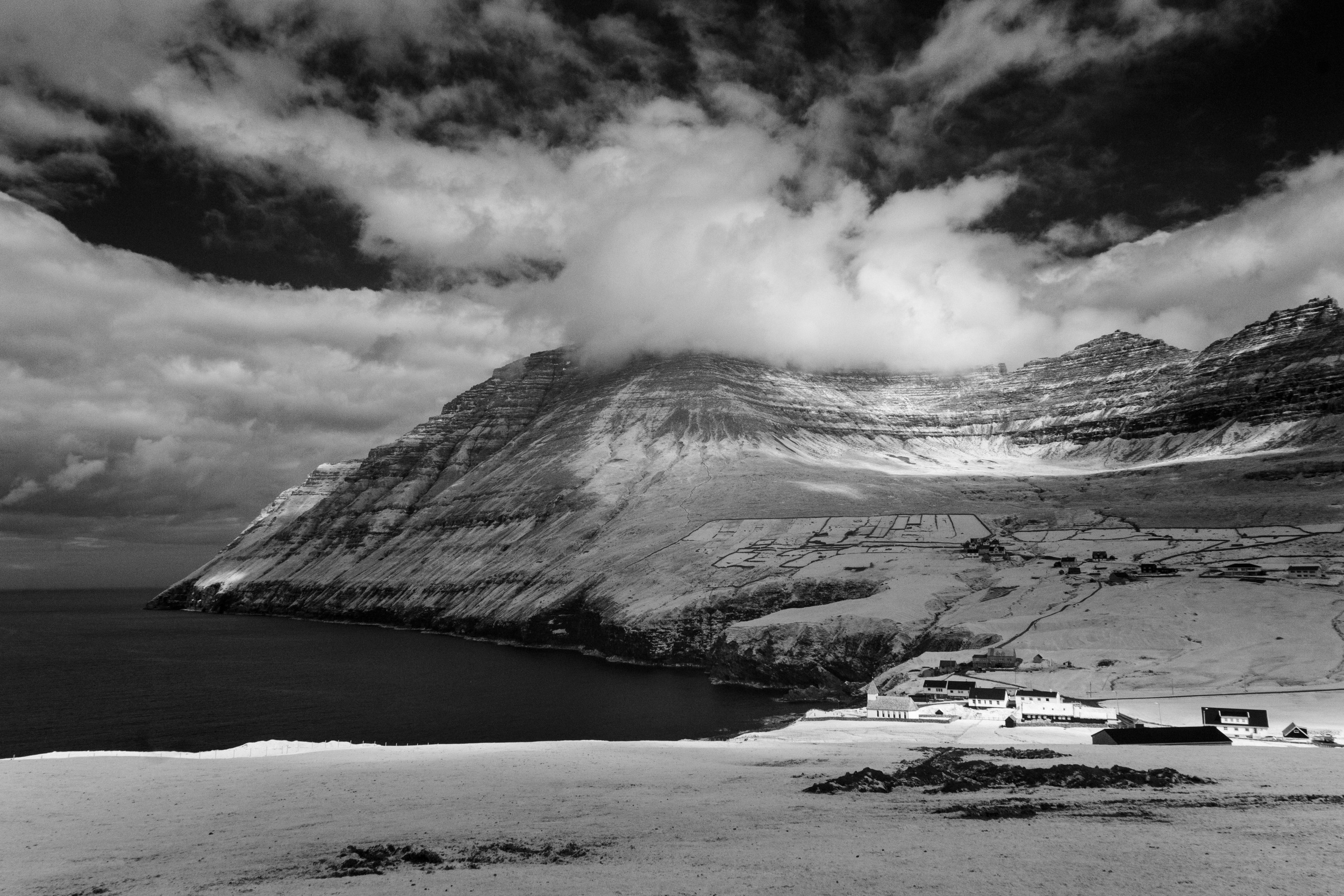
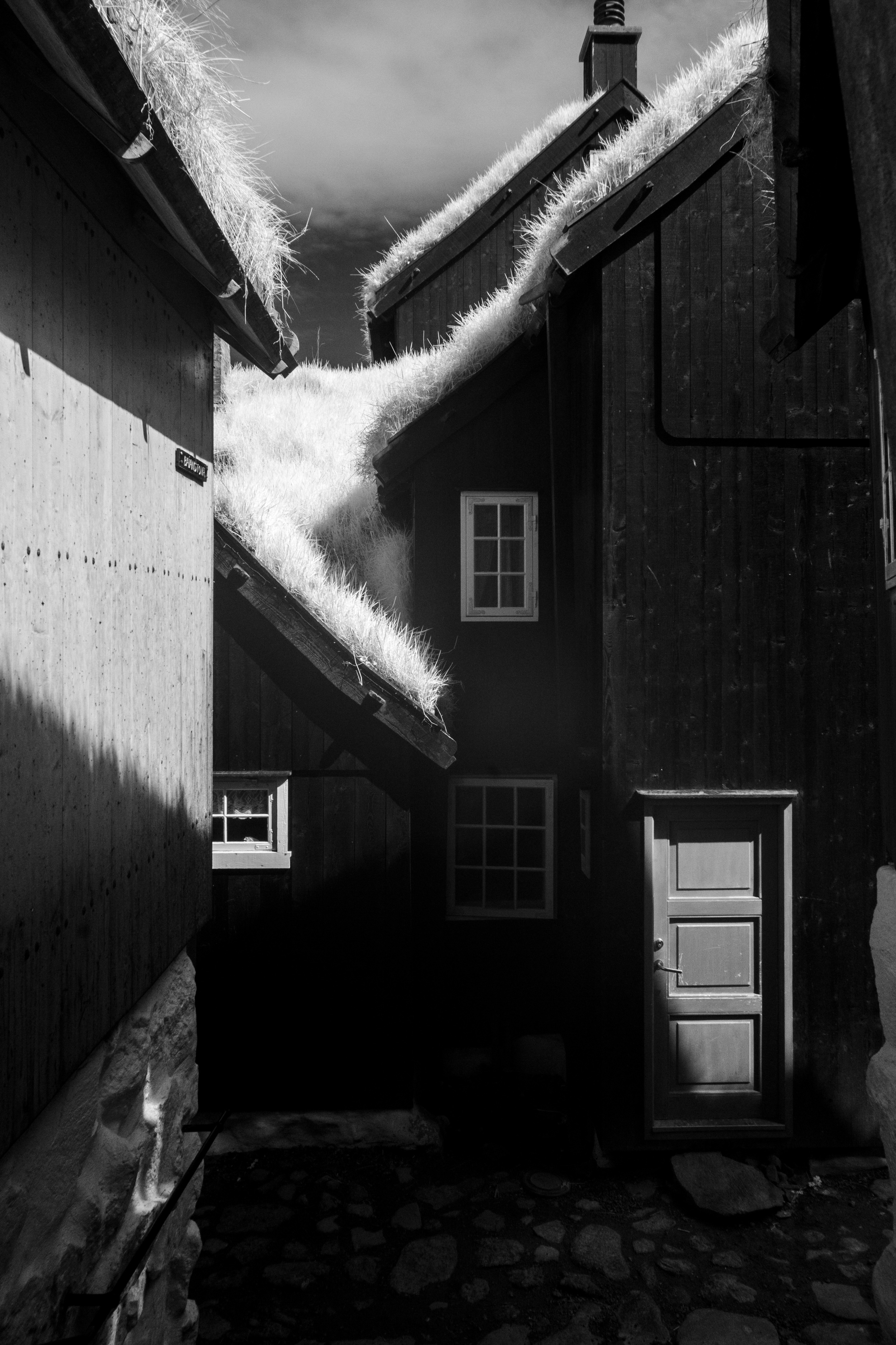
One of the most interesting things about the whole trip was seeing all the little villages along the way. some of my favorites included Gjogv, Vidareidi, and Kirkjubøur. The picturesque towns often include the traditional turf-roofed houses and small, single lanes highways and streets. Many of the villages are appear nearly empty and had a ghostly, post-apocalyptic feel to them.
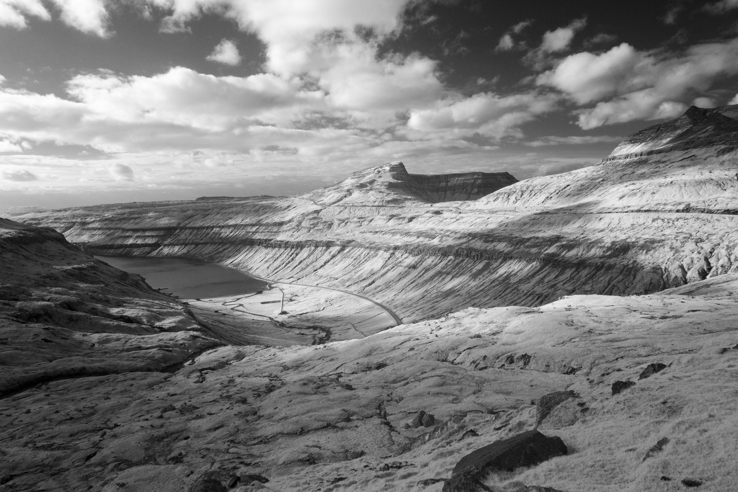
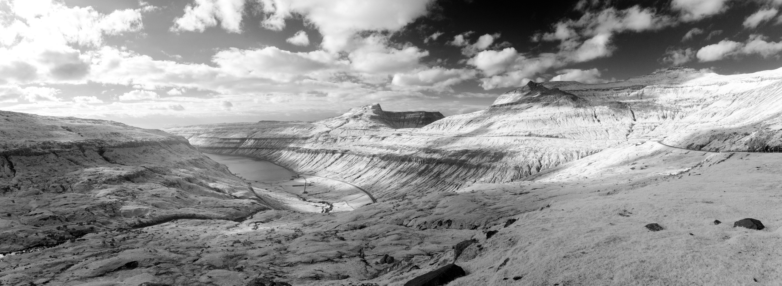
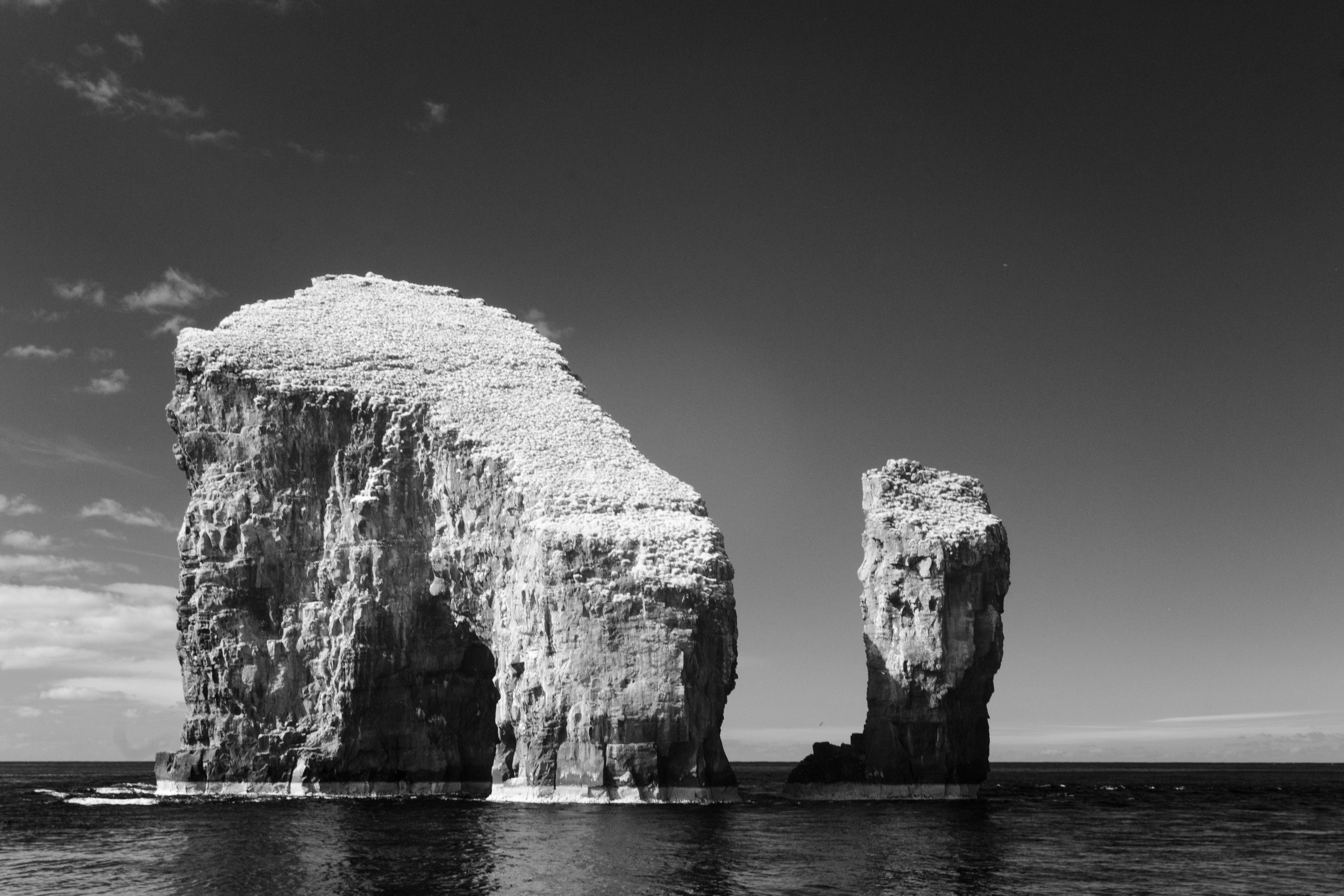
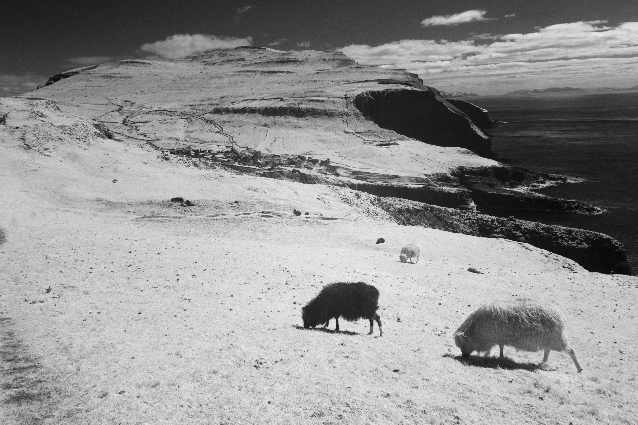
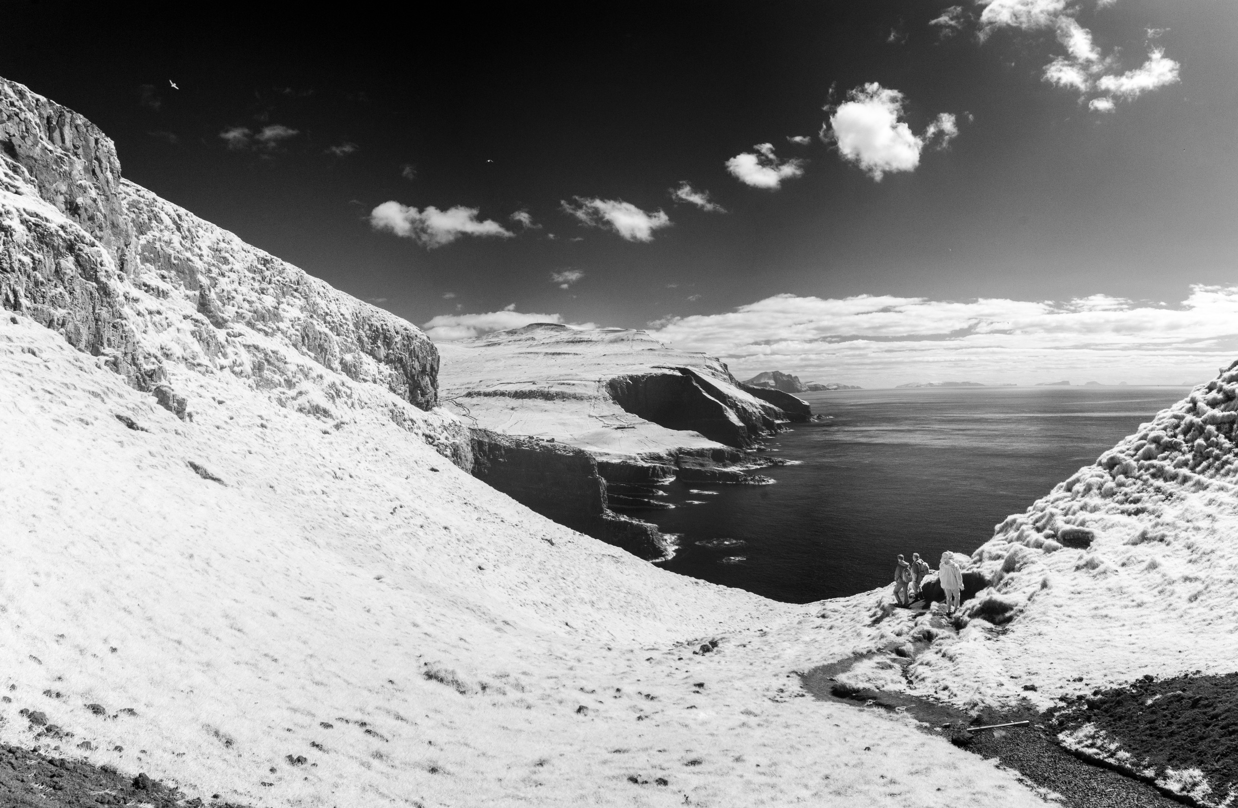
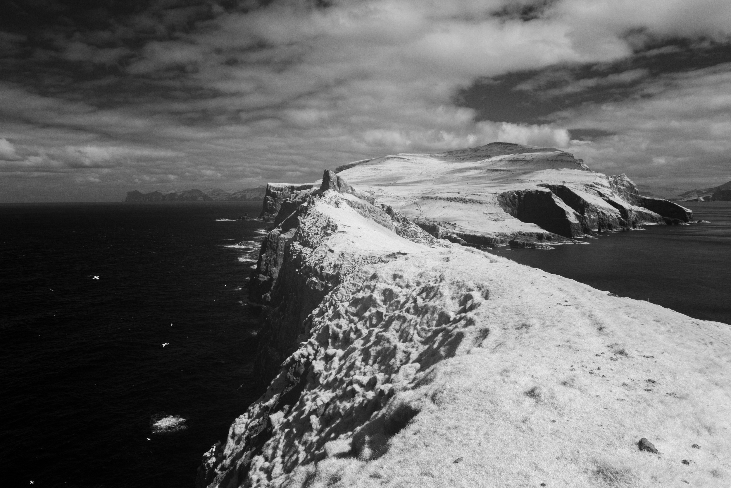
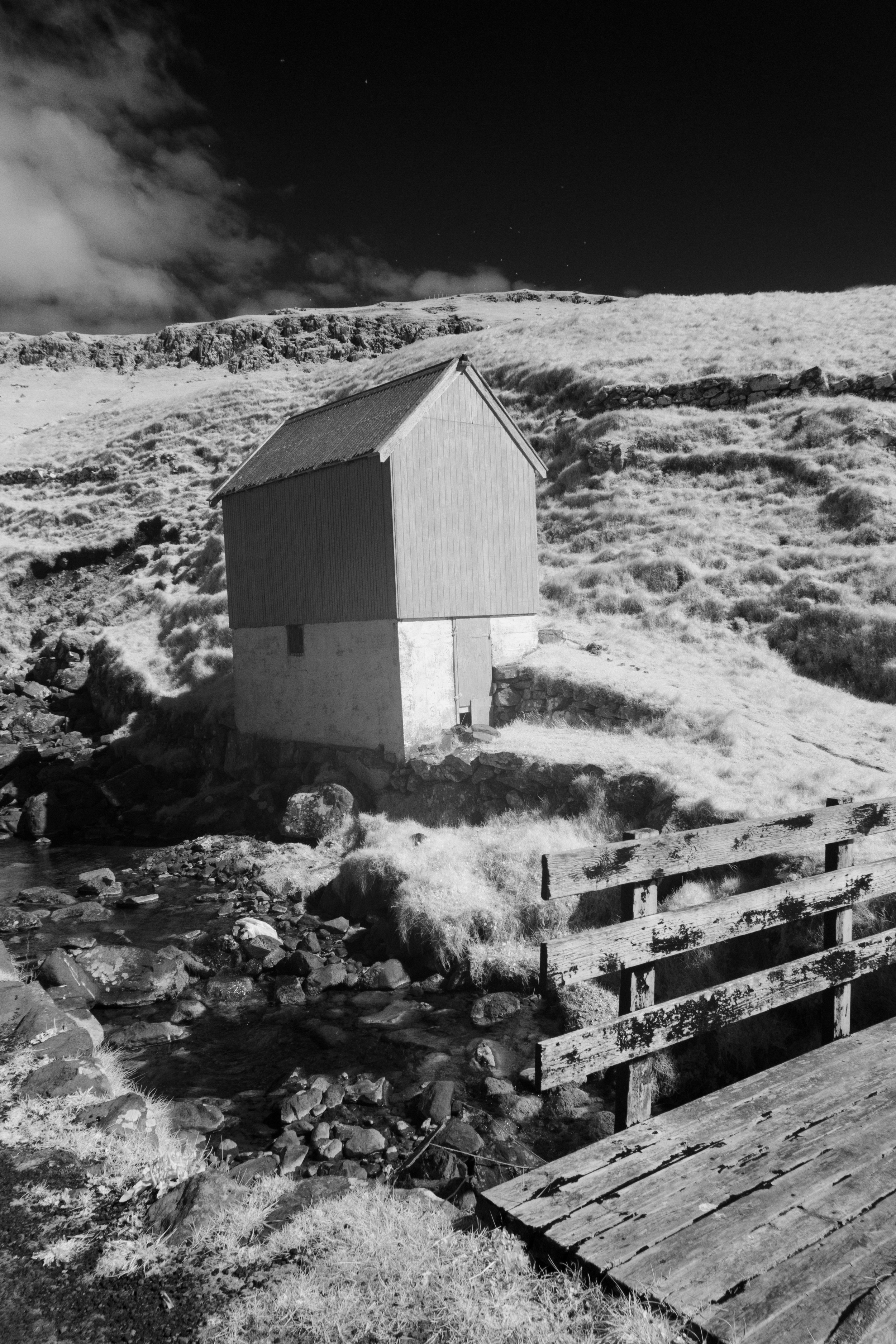
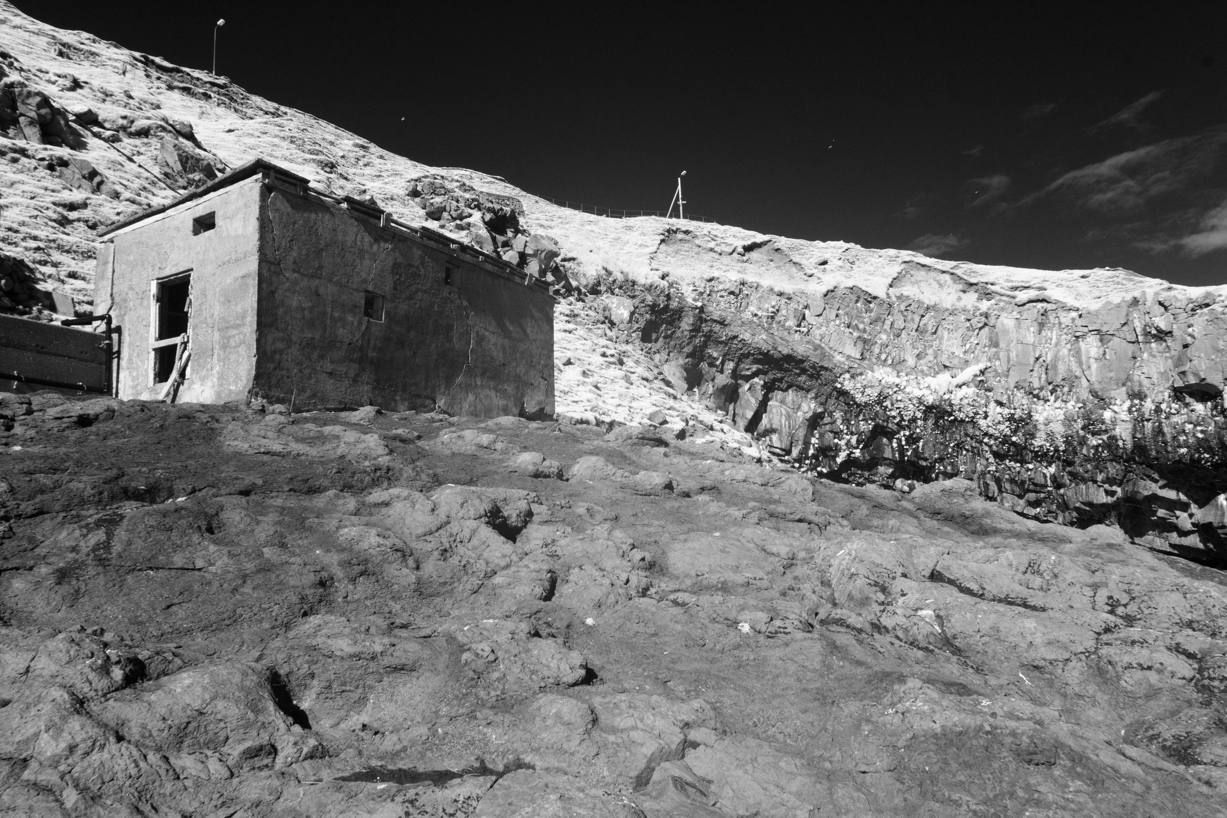
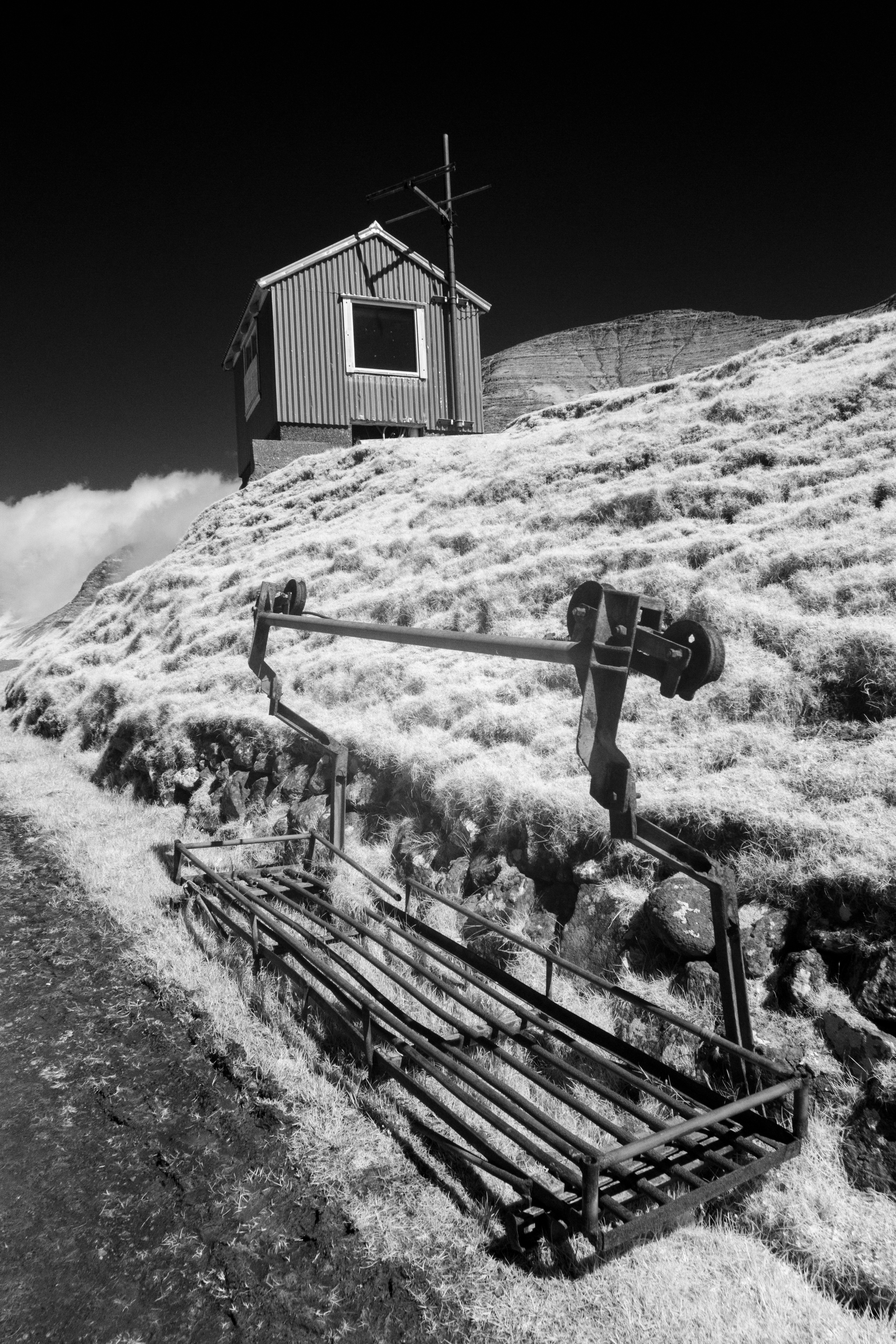
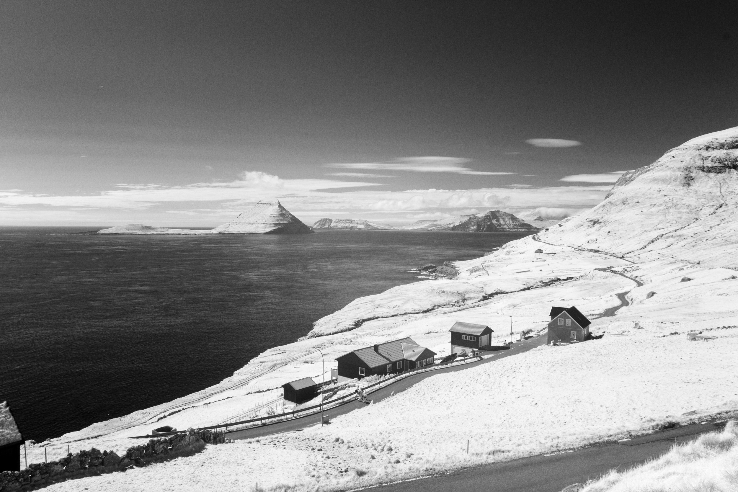
In addition to the images above, I took my Infrared camera on the trip. The images in infrared were so arresting, Many of the same places take on an other-worldly look.
Here are the other Images from the Trip
